
Duraciones
Cómo llegar
Remontez le Val Maggia. Après le panneau de Gordevio, au niveau d’une maison orange qui se trouve à gauche et d’un sculpteur à droite, prenez la route à droite qui monte dans le village. Au mieux, en vous repérant sur la gorge, montez sur le haut pour vous garer à côté de la chapelle. Attention ne confondez pas la chapelle de Gordevio et celle de Villa.
Aproximación
Du pont sur le ruisseau vous prenez le sentier à la rive gauche jusqu'à une chapelle (alt. 470m environ - 20min). Ici vous sortirez le sentier a gauche. Une trace presque horizontale 20min, ensuite la-bas jusqu'au ruisseau.
Descenso
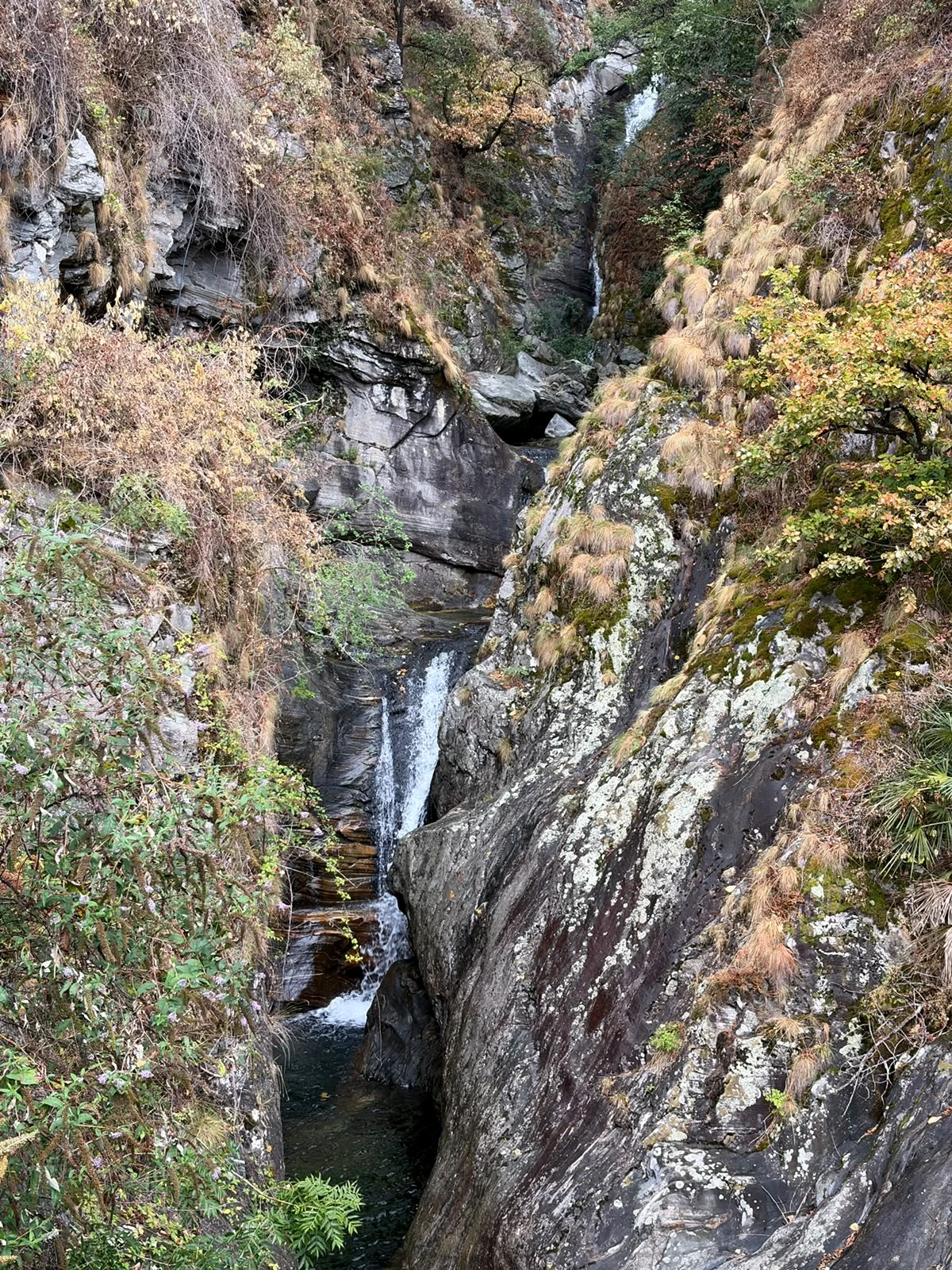
Tout de suite, s’enchaînent les rappels. La seule cascade plus technique est la C40 dont il faut rattraper un relais RD. A la fin de la descente respectez bien le canal de la prise d’eau.
Retorno
après le pont, sortir à droite
Reportes de caudal recientes
Consulta los últimos reportes de caudal de otros barranquistas para planificar tu visita.
20 de septiembre de 2026por @canyon-guide
Dc- Équipement ras
11 de septiembre de 2026por @canyon-guide
DC-. Beautiful! Some bolts move a bit, we tightened those that we could. We found the approach without any problems. Go left just before the shrine (there's a blue arrow + waves marking the path, the standard sign), and after a couple of minutes the path climbs up next to/in a dry riverbed. Then, the path goes left for a couple of meters, crossing the riverbed. This is where it disappears for a bit. To find it: a couple of meters above you in the riverbed is a thick and big tree, the biggest one there. Climb up to it. Once you are at the tree, the path becomes visible again (going left), and after a minute or something of walking you get a blue arrow/waves sign again to confirm you are on the right path. Afterwards, you arrive at a small rocky outcrop, and like 10 meters further the path splits in a Y. Take the right side, and after 10 more meters you'll see an orange rope assisting a down climb. Take it and you'll end up on the left branch of the Y. From there, the path is easy to follow, and there's some ropes (green) assisting you for downclimbs and showing you're on track. It's indeed not a path for everyone, but it's also OK for experienced hikers/canyoneers, not particularly dangerous or hard to find or anything, because of the ropes in place, for which many thanks!
22 de agosto de 2026por @canyon-guide
Après les pluies, le niveau avait bien diminué, plutôt froid le matin
17 de agosto de 2026por @canyon-guide
todo ok
17 de agosto de 2026por @canyon-guide
All correct but there were low flow of water. Some jumps maybe complicated.
Opiniones de barranquistas
31 de agosto de 2026
@Ranart
Barrancos Relacionados
Ver detalles completos en la app
Accede a mapas, track GPS, fotografías y más información técnica.
Abrir en Canyon Guide